Product on sale
Greater Sacramento Area Wall Map Fashion
25 people are viewing this right now
10 products sold in last 14 hours
Selling fast! Over 4 people have this in their carts
- Estimated Delivery : Up to 4 business days
- Free Shipping & Returns : On all orders over $200
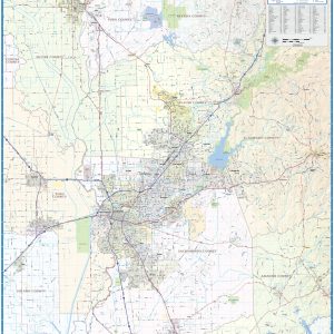
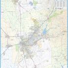
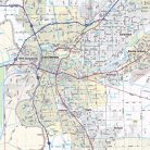
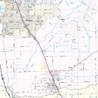
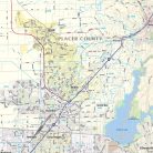
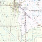
Wall map of the Greater Sacramento, CA area showing from Yuba City in the north to Galt in the south, and from Woodland Davis in the west to Placerville and Sutter Creek in the east. This area includes all or part of the following counties: Sacramento, Placer, Yolo, Amador, El Dorado, Sutter, Yuba, and Nevada. Features shown include cities, towns, major roads and highways, and major points of interest. Due to scale local road names are not shown. An index of community names is included.
This map comes in a variety of sizes and finishing options. It is shipped rolled in a sturdy cardboard tube.
| Size | 36×41, 42×48, 48×55, 56×64 |
|---|---|
| Material | Paper, Laminated, Laminated with Hanging Rails |