-
$89.95 $44.98
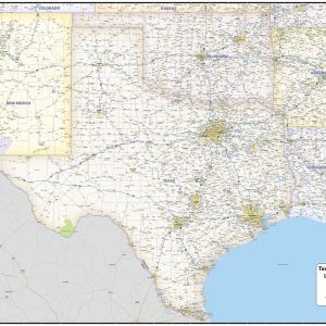
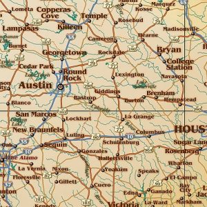
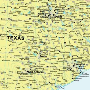
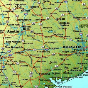
Includes Counties, Cities, Highways, Points of Interest Full Coverage TX, AR, OK, NM, LA This beautiful South Central United States wall map shows all of Arkansas, Louisiana, New Mexico, Oklahoma and Texas with partial coverage of surrounding states. The map features state, US and interstate highways, rivers and lakes, national forests, state lines, counties, cities…
-
$69.95 $34.98
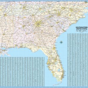
Regional laminated wall map covering the southeastern United States, including North Carolina, South Carolina, Georgia, Florida, Alabama, Mississippi, Tennessee, and adjacent areas of surrounding states. Features shown include states, counties, cities, and major highways. An index of place names is included so that users can quickly locate cities and towns.
-
$64.95 $32.48
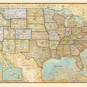
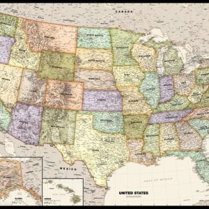
This Antiqued USA Wall Map is beautifully illustrated with subtle earth tone hues. The detail is highly legible with state borders clearly defined. In classic Antique Atlas style, this map can be used for general reference, to track current events, or as a piece of art. Decorators will find the color scheme works beautifully with…
-
$64.95 $32.48
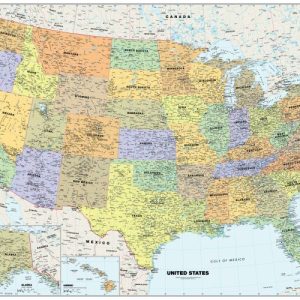
Perfect for home, business, or school, this Classic USA Wall Map combines warm, attractive colors with high-detailed cartography. Details on this United States Wall Map include: state boundaries and capitals along with other major cities and towns; major physical features such as mountain ranges and major mountain peaks; major water features such as oceans, seas,…
-
$64.95 $32.48
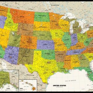
Perfect for home, business, or school, this Contemporary USA Wall Map combines bright, attractive colors with high-detailed cartography. Details on this United States Wall Map include: state boundaries and capitals along with other major cities and towns; major physical features such as mountain ranges and major mountain peaks; major water features such as oceans, seas,…
-
$64.95 $32.48
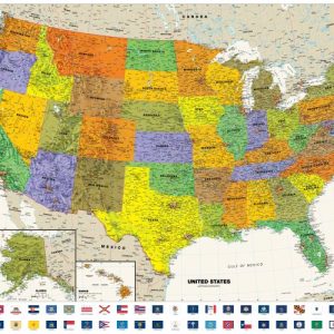
Perfect for home, business, or school, this Contemporary USA Wall Map with Flags combines bright, attractive colors with high-detailed cartography. Details on this United States Wall Map include: state boundaries and capitals along with other major cities and towns; major physical features such as mountain ranges and major mountain peaks; major water features such as…
-
$229 $114.50
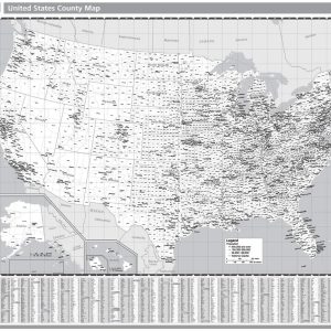
Rand McNally s United States County Wall Map shows county outlines and major cities, making it ideal for use as a business analysis tool. The black and white map is laminated and comes with hanging rails for easy display options. Full black and white representations of all states Outlines of all U.S. counties and indications…
-
$229 $114.50
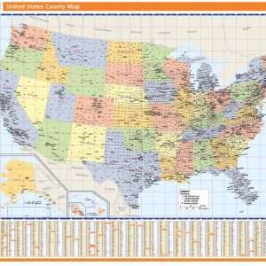
Rand McNally s United States County Wall Map shows county outlines and major cities, making it ideal for use as a business analysis tool. The full-color map is laminated and comes with hanging rails for easy display options. Full color representations of all states Outlines of all U.S. counties and indications of major cities 48…
-
$64.95 $32.48
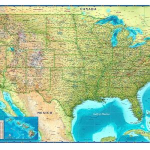
The Compart Maps USA Wall Map is beautifully illustrated with vibrant greens, browns and blues. The detail is highly legible with state borders clearly defined. In classic Antique Atlas style, this map can be used for general reference, to track current events, or as a piece of art. Perfect for an office, classroom or decorating…
-
$54.95 $27.48
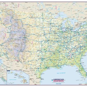
Perfect for home, business, or school, this US Interstate Highways wall map shows the Interstate Highway System of the United States, along with other important Federal and state highways. Details included on this wall map consist of: international and state provincial boundaries, freeways, tollways and other major roads; cities and towns; time zones; and all…
-
$64.95 $32.48
Perfect for home, business, or school, this Legacy USA Wall Map combines bright, attractive colors with high-detailed cartography in an antique style. Details on this United States Wall Map include: state boundaries and capitals along with other major cities and towns; major physical features such as mountain ranges and major mountain peaks; major water features…
-
$64.95 $32.48
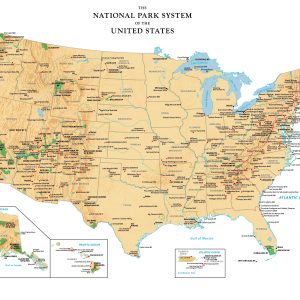
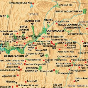
Perfect for home, business, or school, this US National Park Service wall map shows the location of all sites operated by the National Park system in the continental United States, Alaska, Hawaii, Puerto Rico and the U.S. Virgin Islands.
-
$229 $114.50
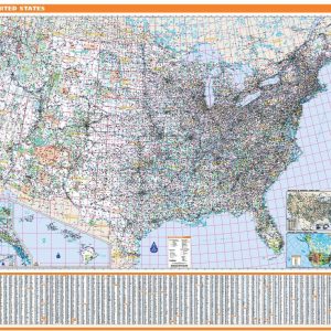
Rand McNally s ProSeries United States Wall Map is an irreplaceable reference tool for anyone needing a comprehensive representation of the country for planning, routing, or reference. The large size and detailed laminated map make it a great addition to any office or board room. Map indications include: Interstates, federal highways, and state highways…
-
$79.95 $39.98
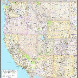
Includes Counties, Cities, Highways, Points of Interest Full Coverage WA, OR, CA, ID, NV, AZ, NM, CO, WY, MT, UT This exquisite wall map of the western US uses shaded relief to portray the land and combines shading with elevation tints that portray landforms much more clearly than contour lines. These techniques and elevation colors…
End of content
End of content
