-
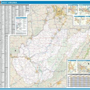
$229 $114.50
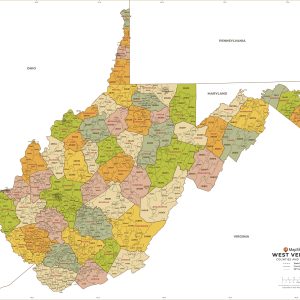
Laminated with Hanging Rails 60 W x 46 H Index of Counties and Cities Fully Indexed Counties, Cities, Mileage Chart Inset Maps of All Major Cities Free Shipping! This map is rolled and shipped in a sturdy cardboard tube.
-
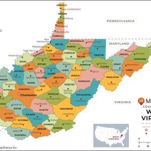
$64.95 $32.48
This map has been created and designed for reference or business use. Clear and clean colors & fonts matched with cartographic research makes this map of West Virginia Counties Map easily readable and useful. The map shows the 55 counties of West Virginia and their borders across the Mountain State. This map is rolled and…
-
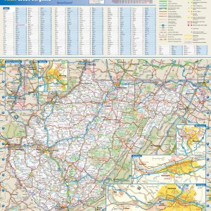
$54.95 $27.48
This colorful, easy-to-read state map of West Virginia identifies all major thoroughfares, secondary roads, freeway interchanges, rest areas, distance markers, landmarks, recreational areas, and more. Shaded relief on the state map provides a three-dimensional sense of West Virginia s topography. Detailed city inset maps of Charleston, Huntington, Morgantown, and Wheeling are based on the latest…
-
$64.95 $32.48
This map of West Virginia shows ZIP codes overlaid on a road map. Base map features include municipality and county boundaries, major road network features, and state and national parks and conservation areas. This map is rolled and shipped in a sturdy cardboard tube.
-
$64.95 $32.48
This map has been created and designed for business or reference use. Clear and clean colors & fonts matched with cartographic research makes this West Virginia Zip Code Map with Counties easily readable and useful. The map shows the 55 counties of West Virginia and the borders of the over 700 zip codes across the…
End of content
End of content
