-
$229 $114.50
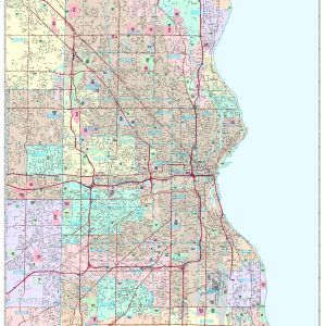
Rand McNally s regional wall map of Milwaukee is ideal for anyone needing a comprehensive representation of the area for planning, routing, or reference. It s a great choice for business and sales strategy, urban development, social work outreach, education, and marketing. Milwaukee residents, businesses, and government offices are sure to find this wonderful reference…
-
$118.75 $59.38
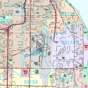
Save money on our full line of wall maps from one of the industry leaders in wall maps. These always up to date, eye catching wall maps come in a variety of sizes and finishing options sure to meet your specific mapping needs. Features include: Interstate Us State Highways 5-Digit ZIP Codes County Names and…
-
$229 $114.50
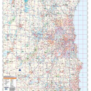
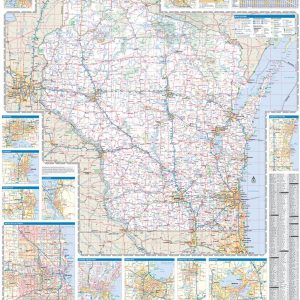
Wisconsin by Rand McNally This map is rolled and shipped in a sturdy cardboard tube.
-
$54.95 $27.48
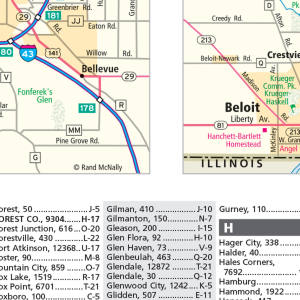
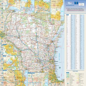
This colorful, easy-to-read state map of Wisconsin identifies all major thoroughfares, secondary roads, freeway interchanges, rest areas, distance markers, landmarks, recreational areas, and more. Shaded relief on the state map provides a three-dimensional sense of Wisconsin s topography. Detailed city inset maps of Appleton, Green Bay, Madison, Milwaukee, Oshkosh, and Racine Kenosha are based on…
-
$64.95 $32.48
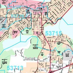
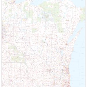
This map of Wisconsin shows ZIP codes overlaid on a road map. Base map features include county boundaries, major road network features, and state and national parks and conservation areas. This map is rolled and shipped in a sturdy cardboard tube.
End of content
End of content
