Product on sale
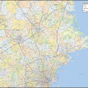
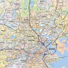
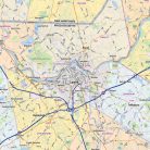
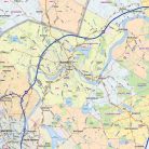
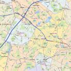
Boston North Shore Area Wall Map For Sale
22 people are viewing this right now
14 products sold in last 10 hours
Selling fast! Over 12 people have this in their carts
- Estimated Delivery : Up to 4 business days
- Free Shipping & Returns : On all orders over $200
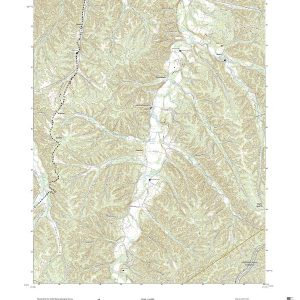
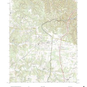
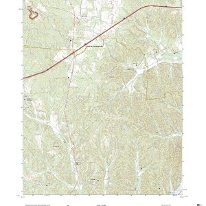
Our Boston North Shore wall maps shows the area from downtown Boston north to the New Hampshire state line, and from the coast west to include towns east of I-495. The map shows towns, counties, major highways and routes, as well as major points of interest. Note: due to the vast extent of this map, local street names are not shown.
This map comes in a variety of sizes and finishing options. It is shipped rolled in a sturdy cardboard tube.
| Size | 47×36, 55×42, 63×48, 73×56 |
|---|---|
| Material | Paper, Laminated, Laminated with Hanging Rails |