
Product on sale
Charlotte and Mecklenburg County Wall Map Online now
23 people are viewing this right now
6 products sold in last 17 hours
Selling fast! Over 9 people have this in their carts
- Estimated Delivery : Up to 4 business days
- Free Shipping & Returns : On all orders over $200
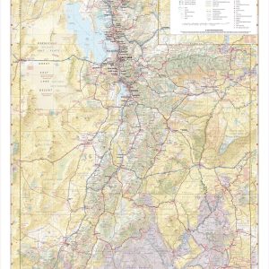
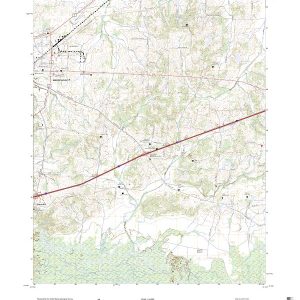
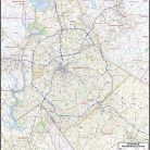
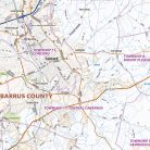
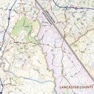
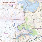
Our Charlotte and Mecklenburg County wall map shows a 35 mile by 40 mile area centered on Charlotte and Mecklenburg County, and also shows nearby areas of adjacent counties. The map shows towns, counties, major and secondary highways and routes, as well as major points of interest. Note: due to the vast extent of this map, local street names are not shown.
This map comes in a variety of sizes and finishing options. It is shipped rolled in a sturdy cardboard tube.
| Size | 36×44, 42×51, 48×59, 56×68 |
|---|---|
| Material | Paper, Laminated, Laminated with Hanging Rails |