Product on sale
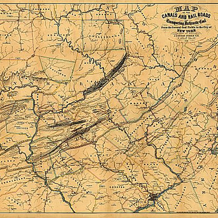
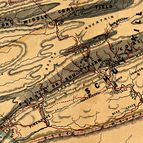
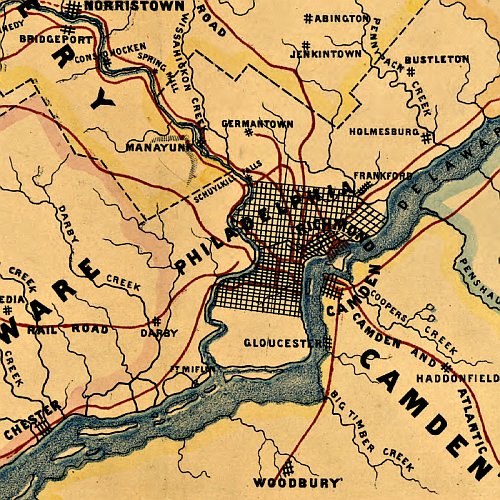
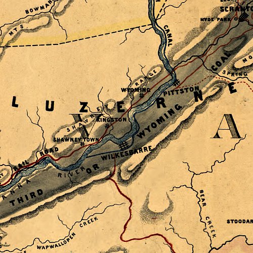
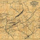
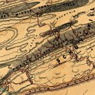
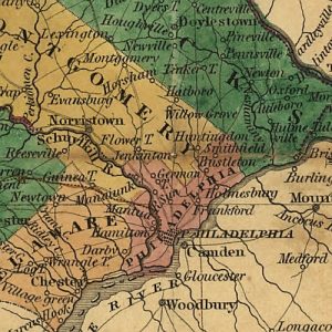
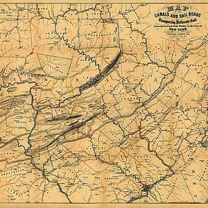
Map of the canals and railroads for transporting coal from the several coal fields to the city of New York, 1856 For Discount
24 people are viewing this right now
4 products sold in last 12 hours
Selling fast! Over 10 people have this in their carts
- Estimated Delivery : Up to 4 business days
- Free Shipping & Returns : On all orders over $200
Map of the canals and railroads for transporting coal from the several coal fields to the city of New York, 1856
This beautiful antique map reproduction is printed on heavy acid-free stock with fade proof inks and is excellent for framing.
33 W x 26 H
| Title | Default Title |
|---|
