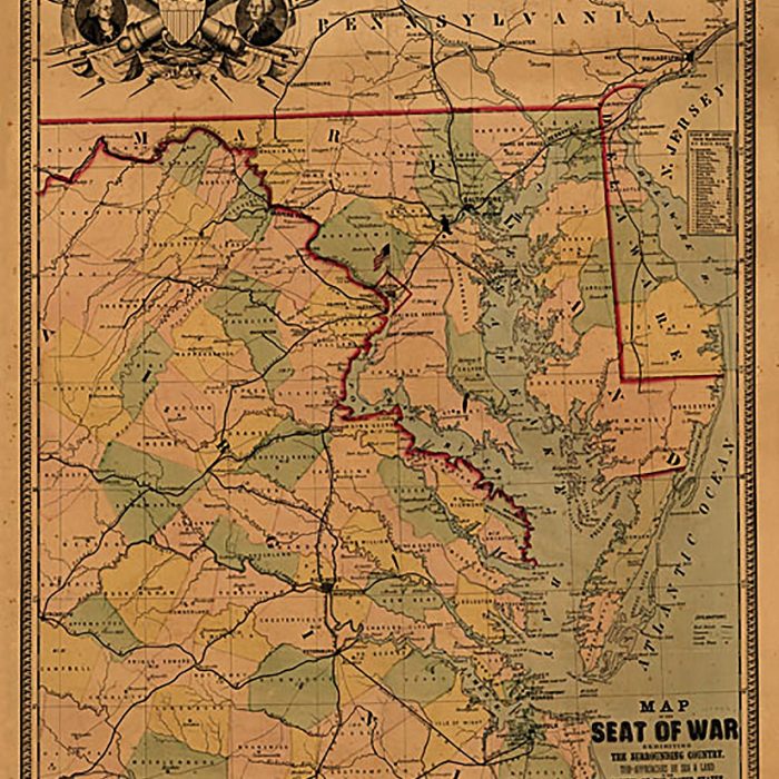
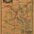
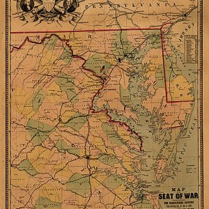
Map of the seat of war exhibiting the surrounding country, 1861 For Discount
- Estimated Delivery : Up to 4 business days
- Free Shipping & Returns : On all orders over $200
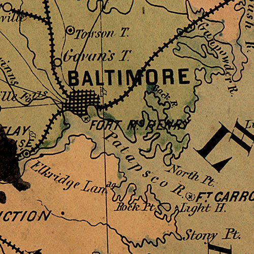
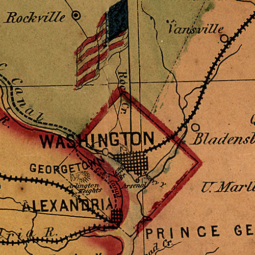
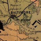
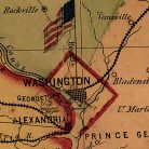
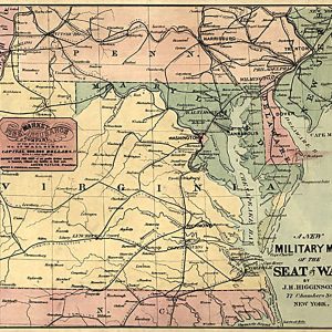
Map of the seat of war exhibiting the surrounding country, the approaches by sea & land to the capitol of the United States, and the military posts, forts, &c.
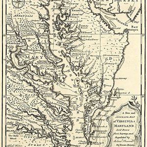
General map of eastern Virginia, Maryland, and Delaware.
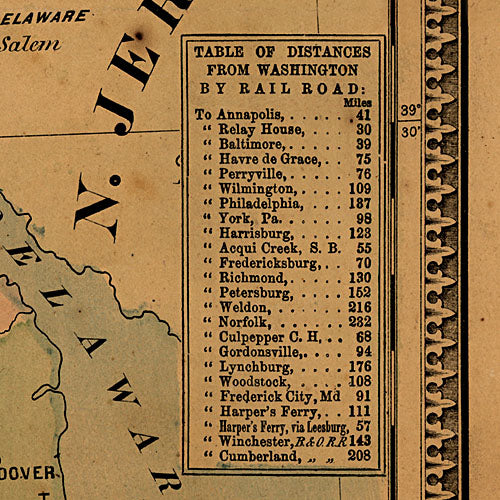
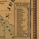
Includes Table of distances from Washington by rail road.
This beautiful antique map reproduction is printed on heavy acid-free stock with fade proof inks and is excellent for framing
Map of the seat of war exhibiting the surrounding country, the approaches by sea & land to the capitol of the United States, and the military posts, forts, & camps.
General map of eastern Virginia, Maryland, and Delaware.
Includes Table of distances from Washington by rail road.
This beautiful antique map reproduction is printed on heavy acid-free stock with fade proof inks and is excellent for framing
23 W x 30 H
| Title | Default Title |
|---|
